So this hiking adventure is not just a day hike, but a 3 day backpacking trip down in Escalante in Southern Utah. There are so many trails in this area, but if you are doing an overnight trip you need to call ahead and check about water supply as well as permits. The Escalante river was a great source for water, but there are some trails not along the river that have no water. This time of year it was warm, but absolutely perfect at night. I did not do this hike solo as I do most of my hikes. This was actually in a group of 8 for my Wilderness Skills class. I'd never hiked in southern Utah before except for Zion's when I was much younger. To be honest, I'm not a fan of this type of scenery, however it definitely has quite the beauty to offer.
We parked at the Egypt trailhead then headed along Fence canyon to Neon. Note that you must have a 4 wheel drive to get to this trailhead. We camped the night before just a few miles away so that we could head out first thing in the morning. There is plenty of areas to set up camp and the night sky is unreal. Watch out for coyotes though. They were howling away early in the A.M. At the trailhead you have a beautiful lookout of Staircase and surrounding areas. You are way up high. This is great, but not so great when you return if you come back this way. We had parked a car at where we camped since we were hiking out a different way than where we started. Starting the hike you'd think would be easy because it's just going down. However, you really need trekking poles not just for this part due to it being so steep, but for the rest of the trail as well. Be careful descending since the rock can be slick from loose rocks as well. The most important thing to remember is to watch and follow the Karens (small stacks of rocks). This will identify where the trail is going. If you veer from this you can really screw yourself over since this is NOT a place you want to get lost in. Stay in your group also because it is easy for slower hikers to fall behind. This part of the trail is hot, but soon enough you get to an amazing view overlooking canyons and streams.
Eventually you get to an area where you see an old horse corral. This is a nice spot to rest since after this is when things get wet. Yup…you will from here on out be hiking in and out of the Escalante river. It's worse than it sounds though. The water for the most part was knee to thigh deep and felt great. Trekking poles helped a ton to feel how deep since some areas were much deeper than others and there were also slippery rocks and/or mud along the way. Before doing any river crossing, it is wise to look across to where the trail picks up so you know exactly where you're going to once in the water. Some areas you just have to hike in the river and follow it. This is great in the afternoon, but freezing in the morning time when the river is still submerged in the shade of the canyon. Along the way we saw some awesome hieroglyphs. It's a little off the trail, but set your pack down and go up and check it out. However, watch out for rattle snakes hiding in the cracks. We had a great time checking out these ancient artworks. So amazing the history in this area. From this point on is where the trail got a little iffy. A couple years ago a rainstorm came in and washed away the trail, so be cautious and follow your map precisely. Also good to note to watch out for flash floods. You are hiking in a canyon and any water that comes in will slide off the rock and into the canyon. Seek high ground if a rainstorm does make a guest appearance.
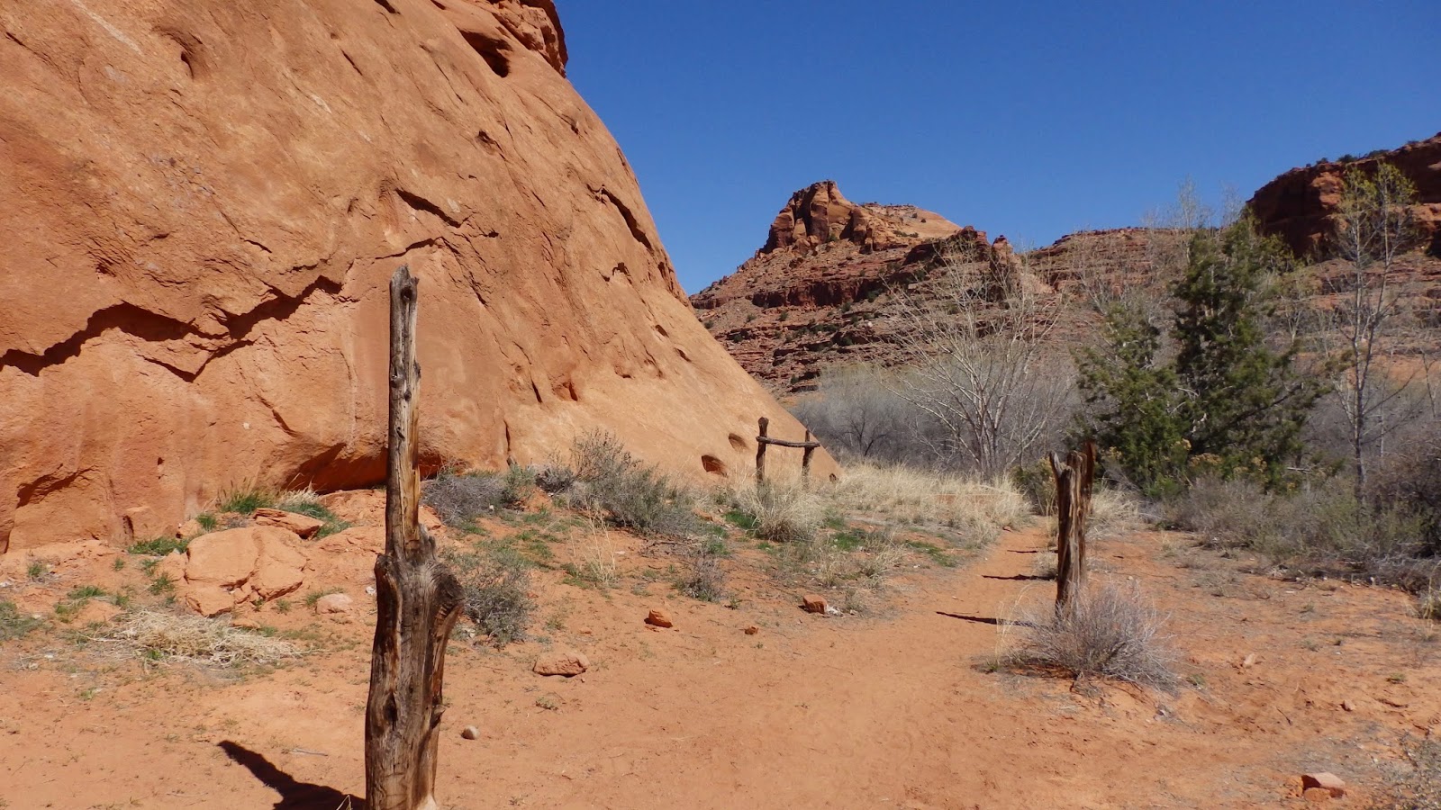
Along this trail we connected to the Neon trail. This is a MUST DO trail! So amazing! There's a nice shady tree spot to drop your packs right after the start of this trail. It's about a mile back to Golden Cathedral. The hike back through the narrow canyon is gorgeous. The stream was super low so you won't be getting wet here. There are some big boulders you'll have to climb over, but that only adds to the fun. Once you get to the end you'll see Golden Cathedral and be in awe. The water is pretty shallow so you can even wade in and get a better shot from underneath the unique overhangs. This is a great place to take a break and have a snack. Make sure you got plenty of film as you never feel you have enough pics of this view.
Heading out of Neon we hopped onto the Escalante trail (along the river) to 25 mile. We were suppose to be heading out to Egypt, buuuuut I'll explain that later. This last part of our hike for day 1 we were in the river a lot. This was great, but very slow since we had to watch our step. Remember to unclip your pack so just incase you get carried into the water your pack won't weigh you down. We didn't need to be in the water so much, but the trail is pretty sketchy at some points (at least we thought this was sketchy…until the next day when looking back we realized it was a breezy walk in the park compared to day 2). Eventually we realized that even though we all were fine continuing on despite being exhausted, hungry, and cranky from rough terrain, the sun was going down and we needed to set up camp. No bonfires in these camps so light is our friend for set up. We found a great little spot next to the water. The moon was full and gave us lots of light. Our view looking up was gorgeous. It was nice being next to the river because we had all the water we needed. We did a little over 10 miles this day. 10 very loooooong and tiiiiiring miles. (Typically I could do a 10 mile 4000 foot elevation gain trail in just a few hours, however although this terrain was dominantly flat, it was gnarly and required lots of rest breaks).
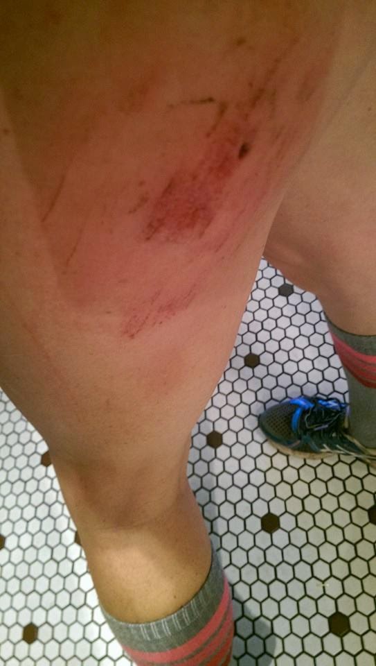
In the morning it was chilly until the sun hit our site, then it got toasty rather quickly. Immediately we had to climb in the water. Bbrrrrrr!!!! After about 20 minutes I couldn't feel my feet. Most of us got out and went along the "trail", while a couple stayed in. Neither group went faster than the other. This part of day 2's hike was the breezy part (even though we didn't realize it at the time). We ran into a group not long after we started. They asked where we were headed and my teacher responded. The guy expressed his concern about the trail. We had just figured it couldn't be any worse than what we had done the day before. Booyyyy were we wrong! The "trail" soon became a ghost. It would come then go. We were in and out of the water debating on which was better. The answer: neither. The water got waste deep at some points. It's always refreshing when your skivvies get wet with river water, then you get to hike in them as they dry. Mmmmm….refreshing! The mud in the river got pretty bad in some areas so we'd have to get out rather quickly. In one spot I sunk knee deep in just a couple seconds, in red mud while waist deep in water. I was second in line in the group. The guy ahead of me was trying to get onto land. My trekking poles were stuck. I almost fell back from the weight of my pack while trying to get out. Had I been solo, this would have been my demise. They mud was so dense and I was so deep in it that I couldn't move my legs. The guys pulled me out. This was definitely an "OMH!!!!" moment for me, fearing I was completely stuck in this mud, waist deep in a river with a 50 lb pack on. Trying to get out caused me to twist my ankle. At the time I didn't realize this, but later it started to affect me. To this day (a month later) it still affects me and my hiking/climbing/running. All part of the risks of an amazing adventure though :) After this, we steered clear of the river for a while. The terrain we got ourselves into wasn't pleasant. There was bushwhacking galore, cuts from branches flinging on all our body parts, sinking mud, deep river crossings, hot sun, and a struggle identifying where we were on a map. Miles of this. Finally we decided to cut across and head back towards the car (the one we came in, not the one we were suppose to hike out to). To do this though would mean we leave the luxury of following the river…aka: having a water source at our disposal. Buuuut we were all down for ditching this gnarly bushwhacking. In theory this sounded great, however this meant we had to hike through pure desert. Up and out. Some of the guys went and filled the water bags so we could filter it at camp later. They were quite the troopers adding that extra 10 pounds on their already heavy packs. I know I couldn't handle even one more pound on mine. Unfortunately my pack didn't fit me properly which left me with a raw lower back and shoulders. Aaannnnyyyywaaaayyyys we finally set up camp and got to watch a beautiful desert sunset with the mountain that had our car on it in the backdrop. So close yet so far away :-/
That night was amazing. The weather was perfect, the moon was full and bright, and there were no coyotes taunting me with their howls. Despite the full moon, you could still see millions of stars. I highly recommend it :) It was such a nice end to a gnarly day. The next day we only had a few miles to our car. Sounds easy enough, but this was not a direct route, plus we got the joy of the hot sun and no shade. The last ascent was not ideal, but knowing it was almost over and we'd be at Maverick drinking cold, yummy, lemonade within a couple hours gave us all the kick in the pants we needed :) At this part you just kind of hike up. There's not a trail till you get closer to the top. There were others justing starting down the trail full of vigor for their backpacking adventure. I just hope they knew where they were going so they didn't end up like us :)
Overall it was quite the experience. I don't regret it, however I don't totally recommend it. Hiking to Golden Cathedral I totally recommend though. Make sure to watch the weather report right before you go. Don't head out if there is any chance of a flash flood. Also bring extra socks since your shoes will be soaked at the end of each day. I recommend going when the moon is full because it lit up the camp, but also was gorgeous in the desert. From now on though I'll probably stick to more mountainous hikes (or any tropical hikes, like when I get back to Hawaii). This wasn't my cup of tea, but so glad I got to experience it and with such a great group too. I wasn't able to Strava it due to not having my cell phone and no reception, but we did roughly 20 miles. Less than 2000 feet elevation gain total. And like a million calories it felt like :) Here's some pics and if you want to see more you can check out my FB hiking page: https://www.facebook.com/bettisblogofhikes?ref=hl
 |
Early in the morning before we started the journey. This is
also the location we were originally going to hike out to
upon finishing our trek. |
 |
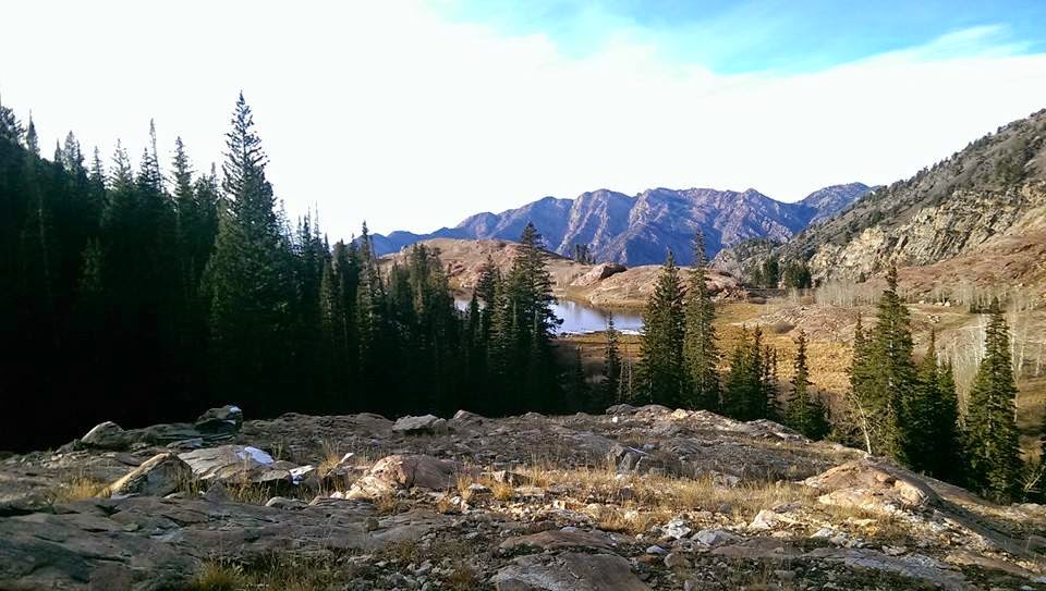
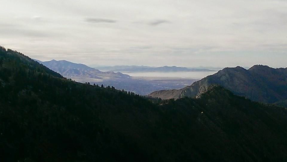
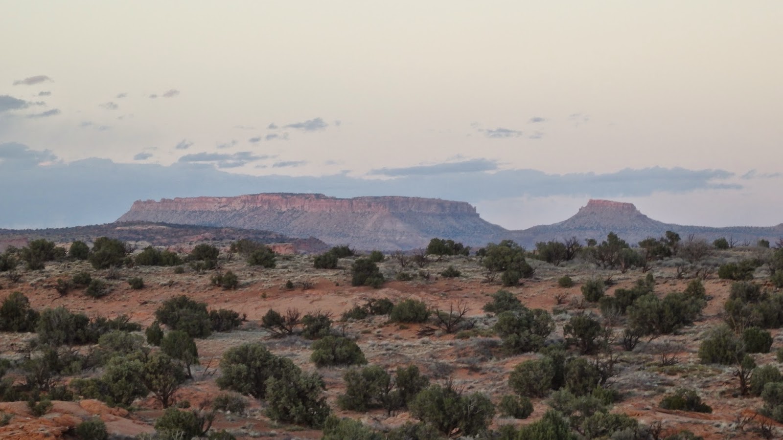
This was the view upon our start, overlooking Escalante
and Grand Staircase. |
 |
| Yup…the car was waaaaay up this nice little climb :-O |
 |
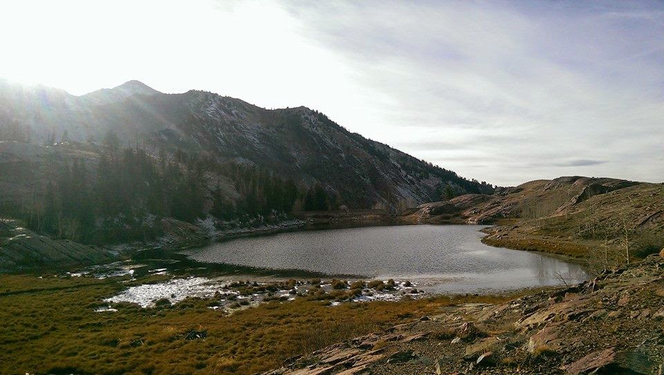
This is the coral I referred to. Right past here and down is
a primo little spot to chill and have lunch before hopping
in the refreshing Escalante river. |
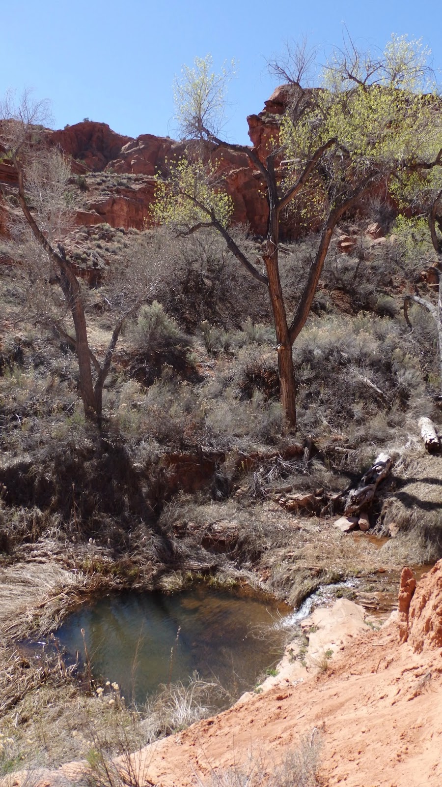 |
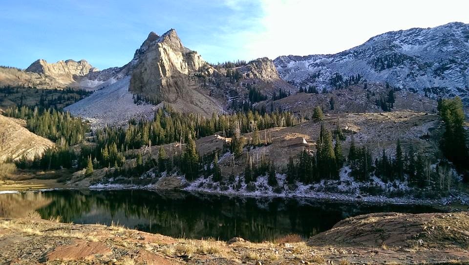
On our descent, we saw this nice
little pool with mini waterfall. It looked
quite enticing in this heat. |
 |
Hiding in here was a little rattlesnake.
Obviously I didn't want to get too close :-/ |
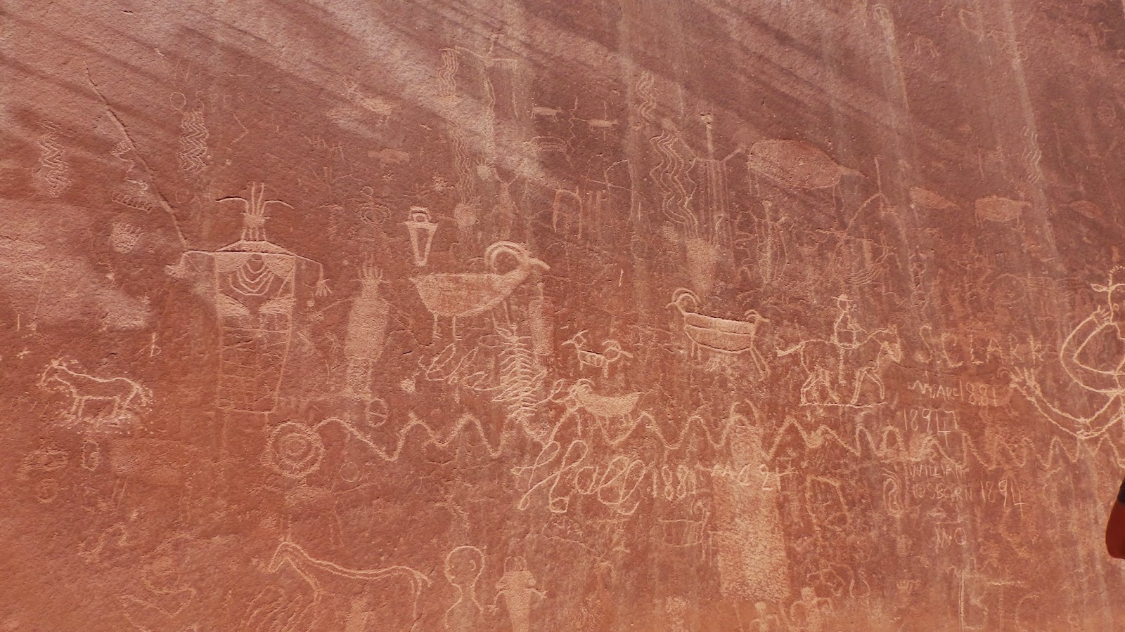 |
More hieroglyphs. So amazing to see the history. Also,
they must have not been very good at pictionary cuz I
don't understand a thang on this wall :-/ |
 |
Amazing wall. Not quite climbable though :-/
I'd rate it a 5.16 :) |
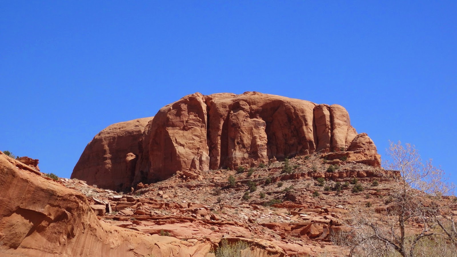 |
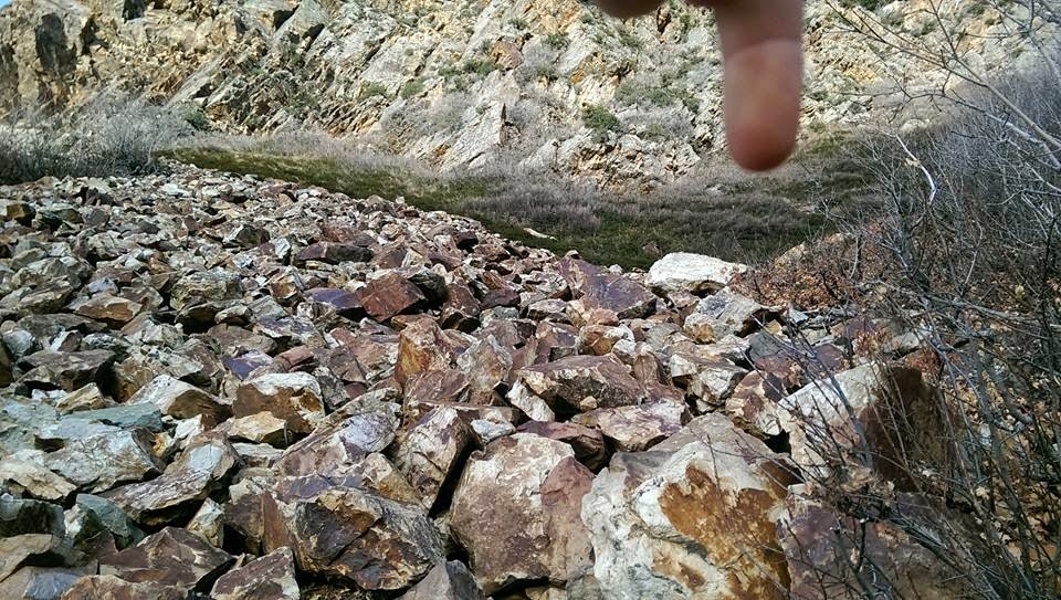
So many incredible large rocks. Hhmmm…maybe some
of those are climbable :) :) :) |
 |
| Saw this and thought it was interesting :) |
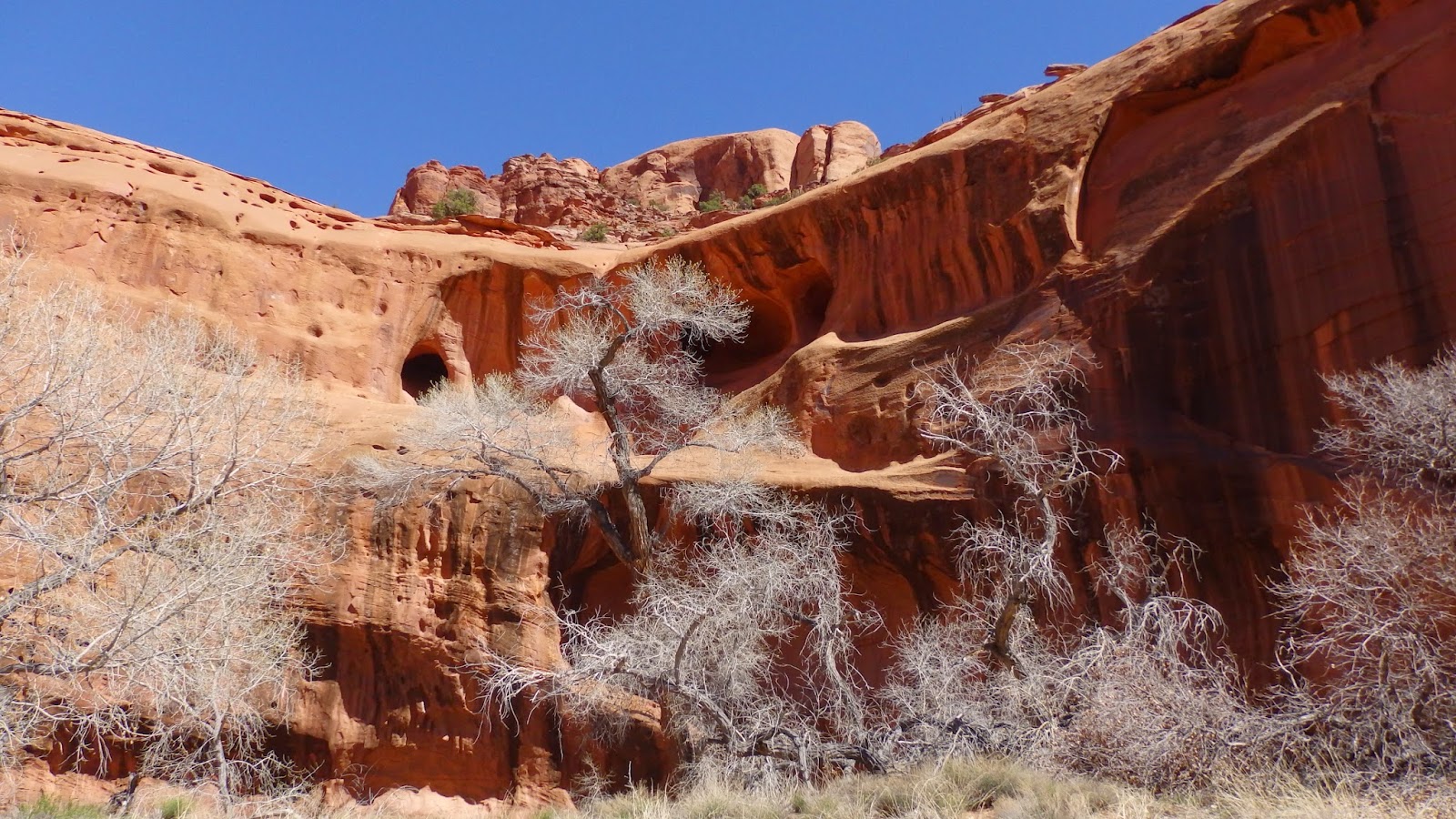 |
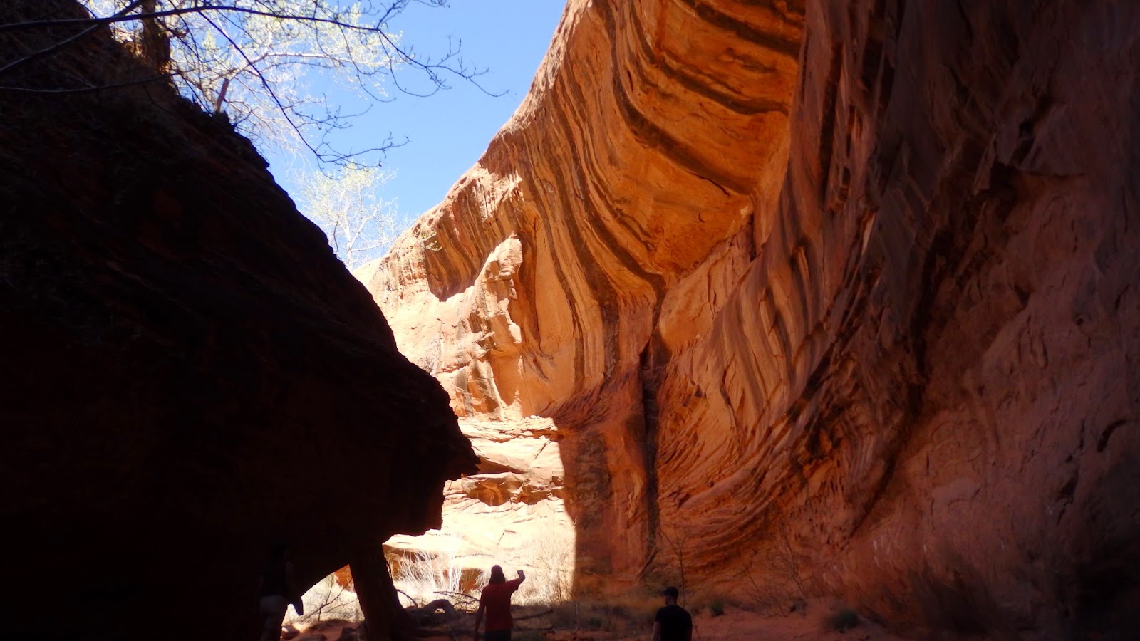
| Entering Neon, this is your view. Amazing! |
 |
| Hiking through Neon. Enjoying the natural wall art. |
 |
| Now that I could maybe climb :) |
 |
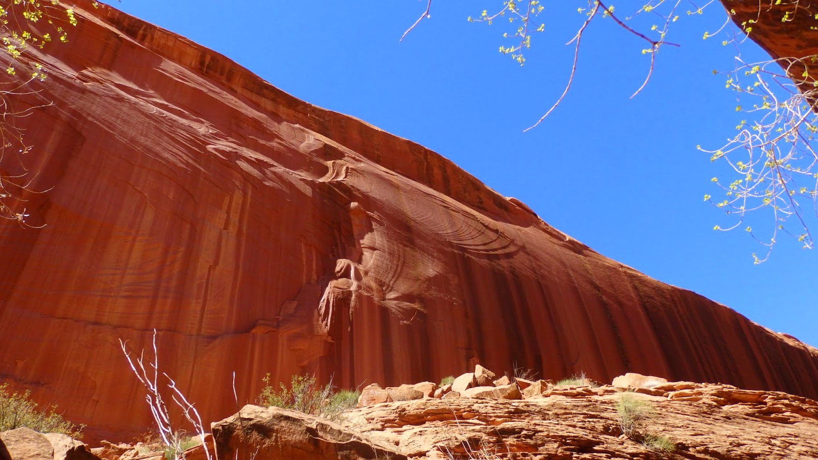
| Couldn't get enough of these unique walls and pretty green trees. |
 |
| Enjoying the shade :) |
 |
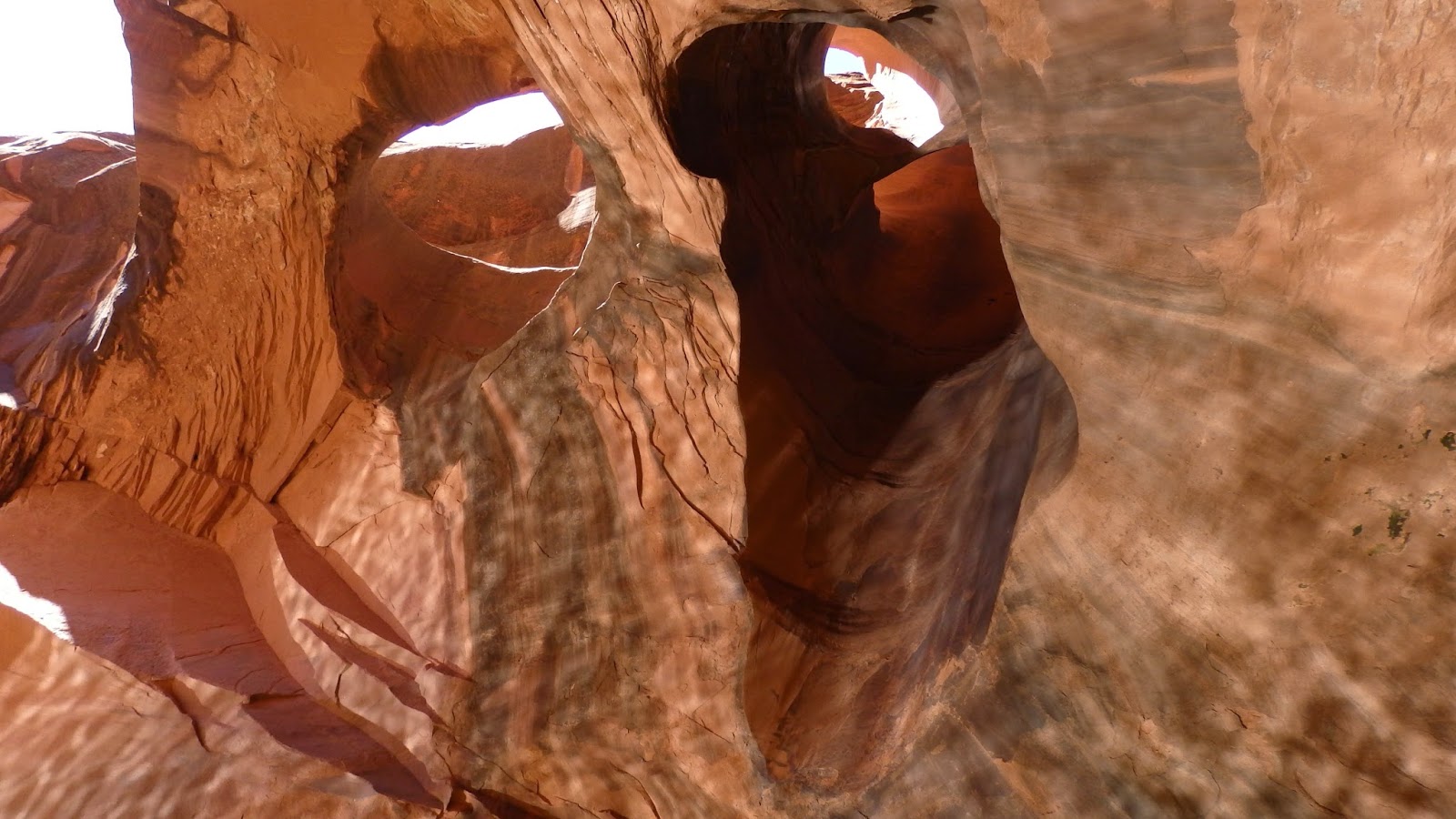
| Mother nature makes some interesting things for us to enjoy :) |
 |
Golden Cathedral.
AWESOMENESS!!! |
 |
| Love this place! |
 |
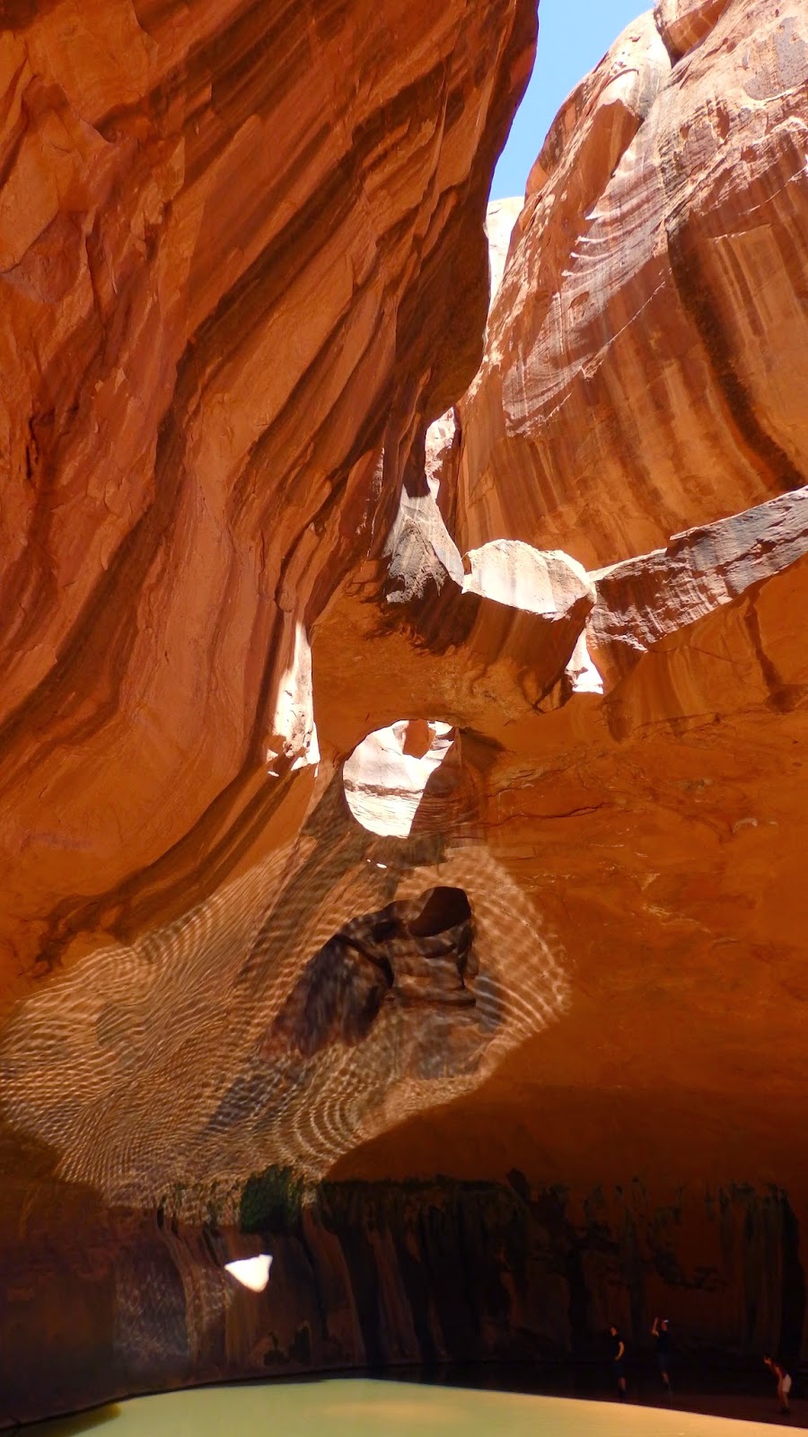
So cool to see the water reflection
on the ceiling. |
 |
| From the water you can wade in and get some cool angles. |
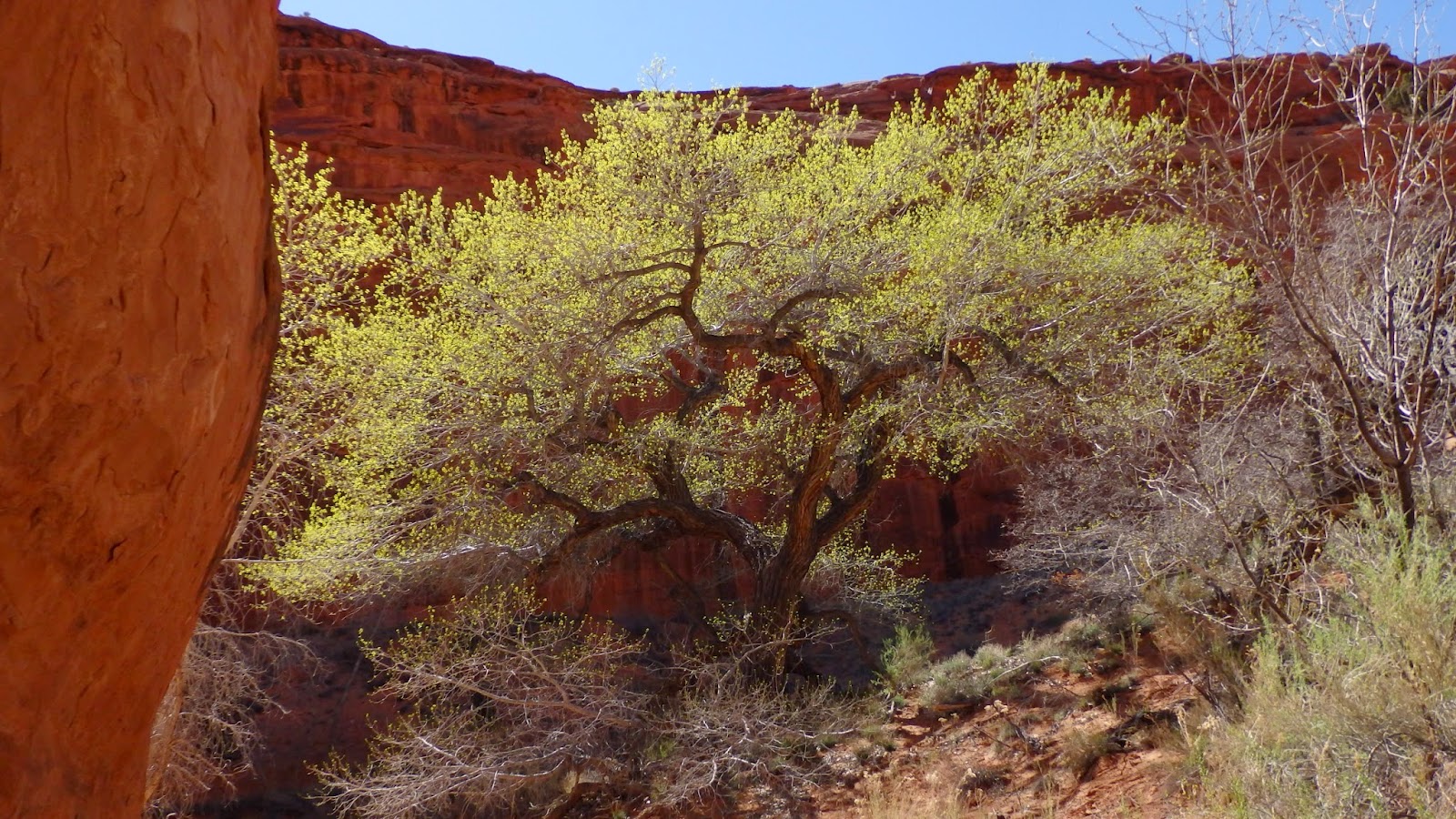 |
This tree was epic. The green was beautiful in contrast with
all the red around it. |
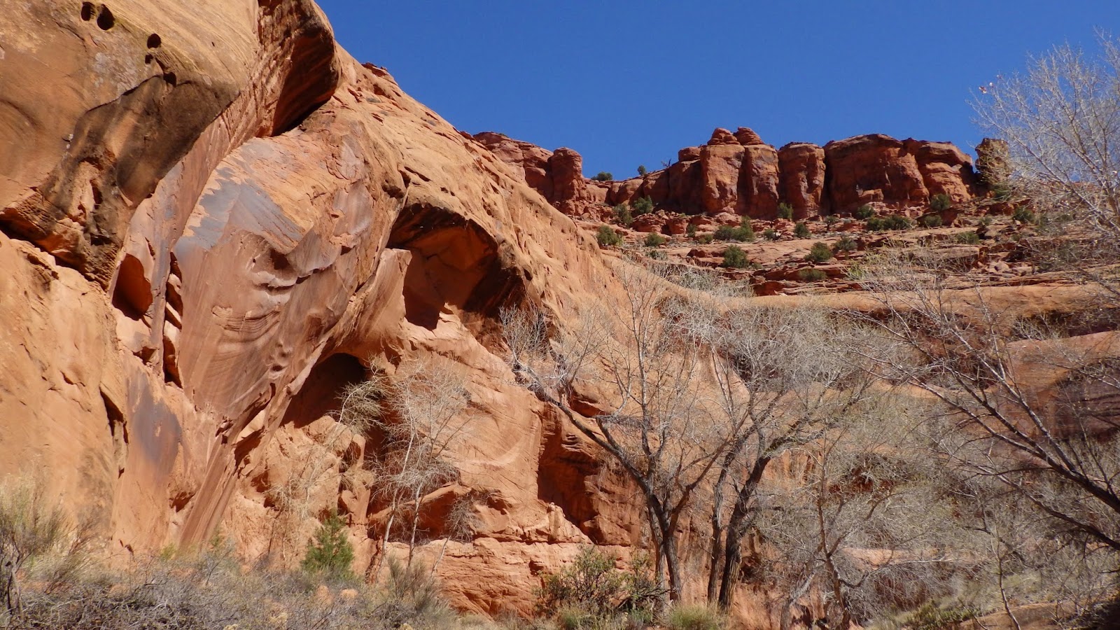 |
| Heading out of Neon you get this view. |
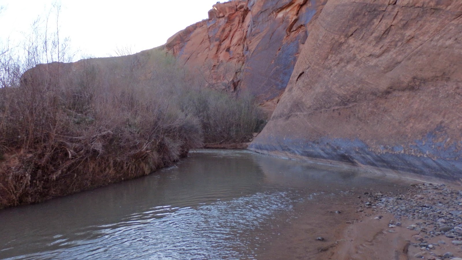 |
| Our trail for a while. Yup…in the water. |
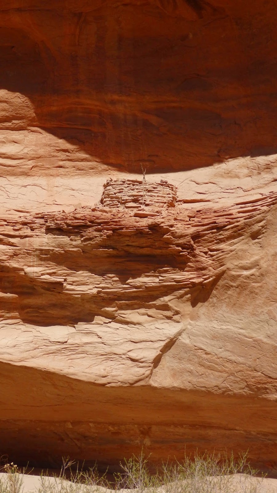 |
At one point the water had been
high enough that it went up to
that spot. I wonder how old this is. |
 |
| Camp for night 3. |
 |
Nice view of the sunset (on my crappy camera). You can see
Clark enjoying it too. Had a nice view from my little tent set up. |
 |
At Sunset, here's the view of the mountains surrounding us.
In person this was truly amazing. |
 |
View of a mountain in New Mexico. I'd like to give that one
a shot :) |